
Michigan
National parks, the official driver handbook, and how far you can realistically reach by car — everything you need to start planning a trip around Michigan.
National parks in Michigan
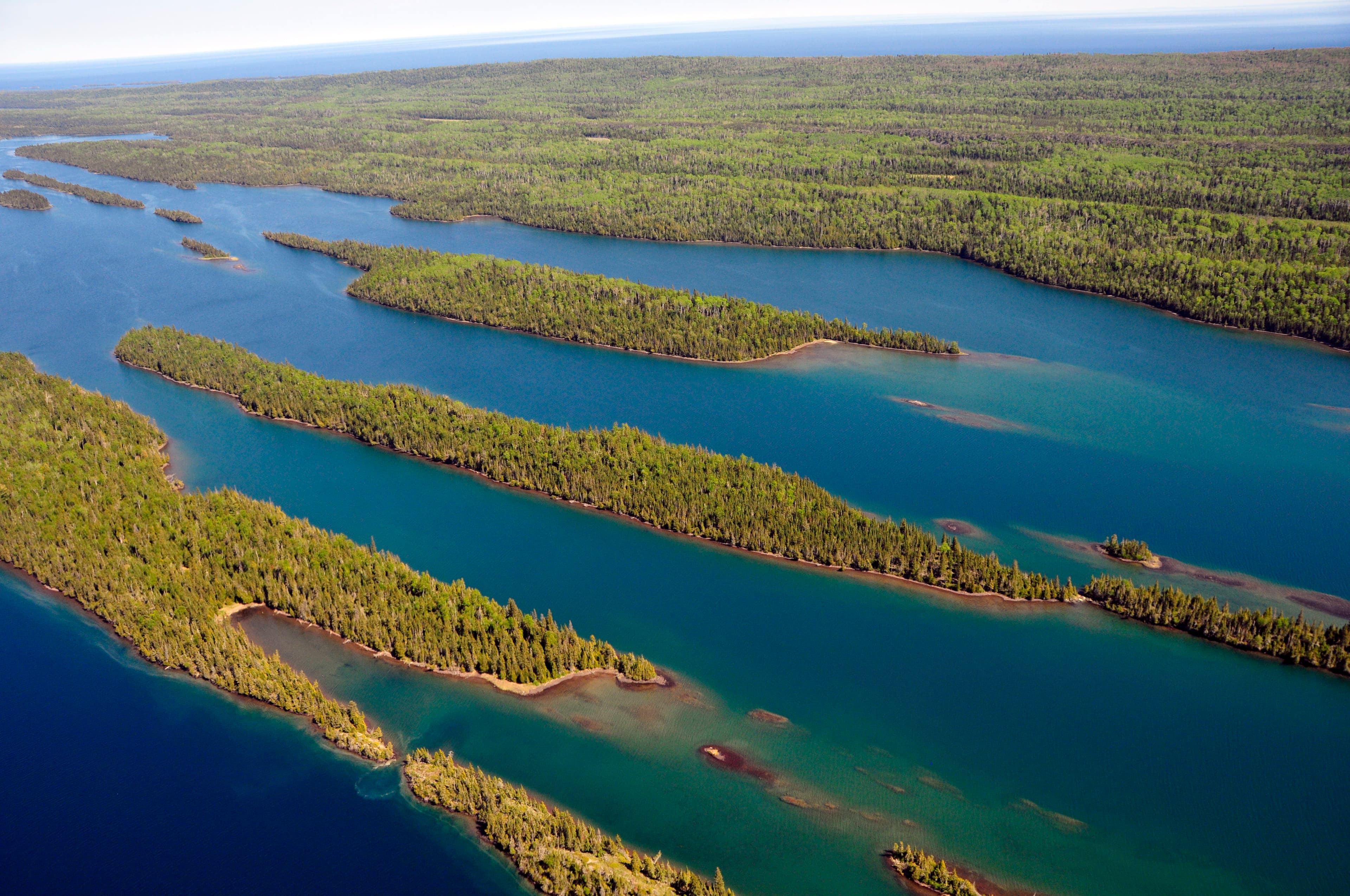
Isle Royale National Park
ISRO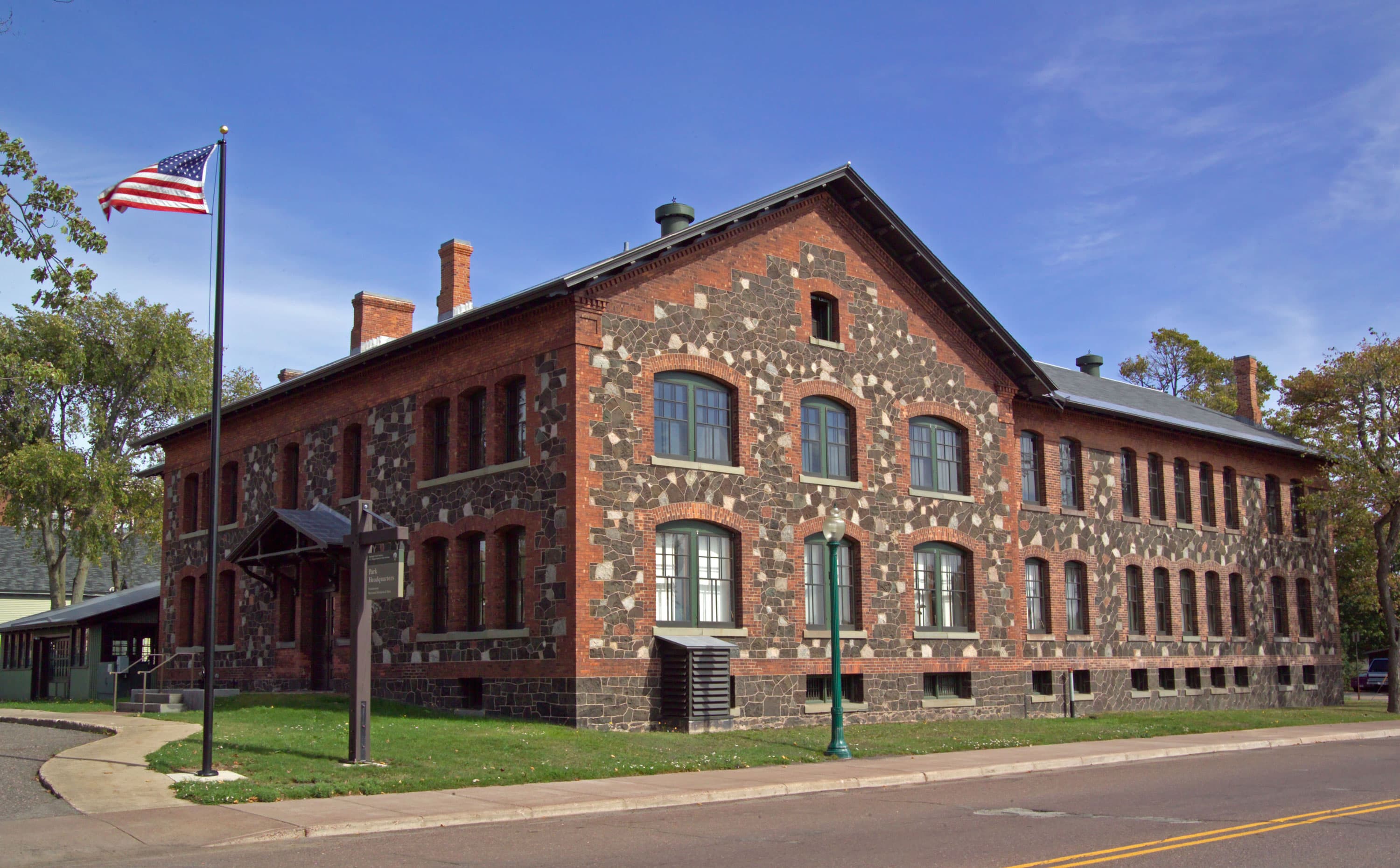
Keweenaw National Historical Park
KEWE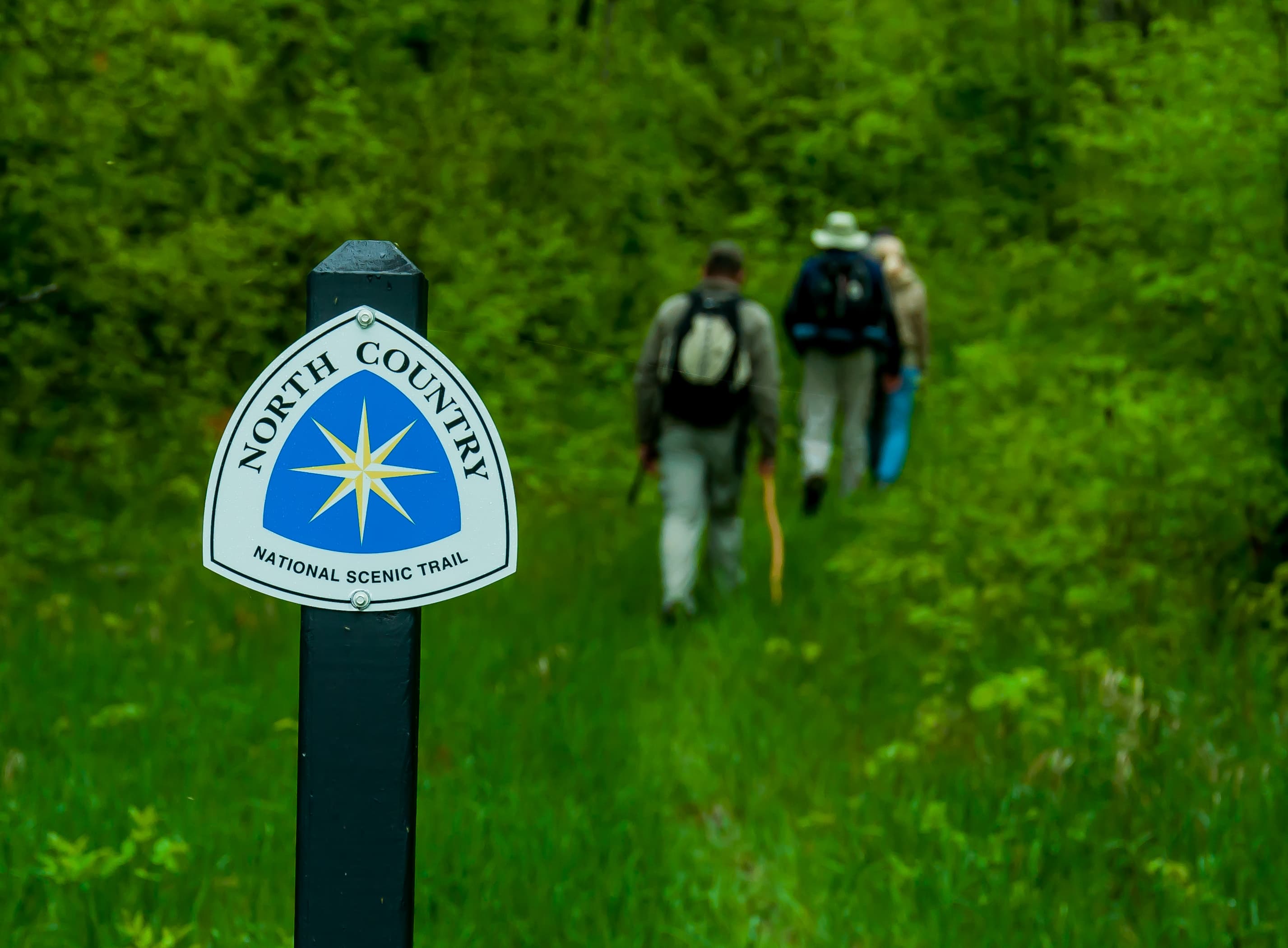
North Country National Scenic Trail
NOCO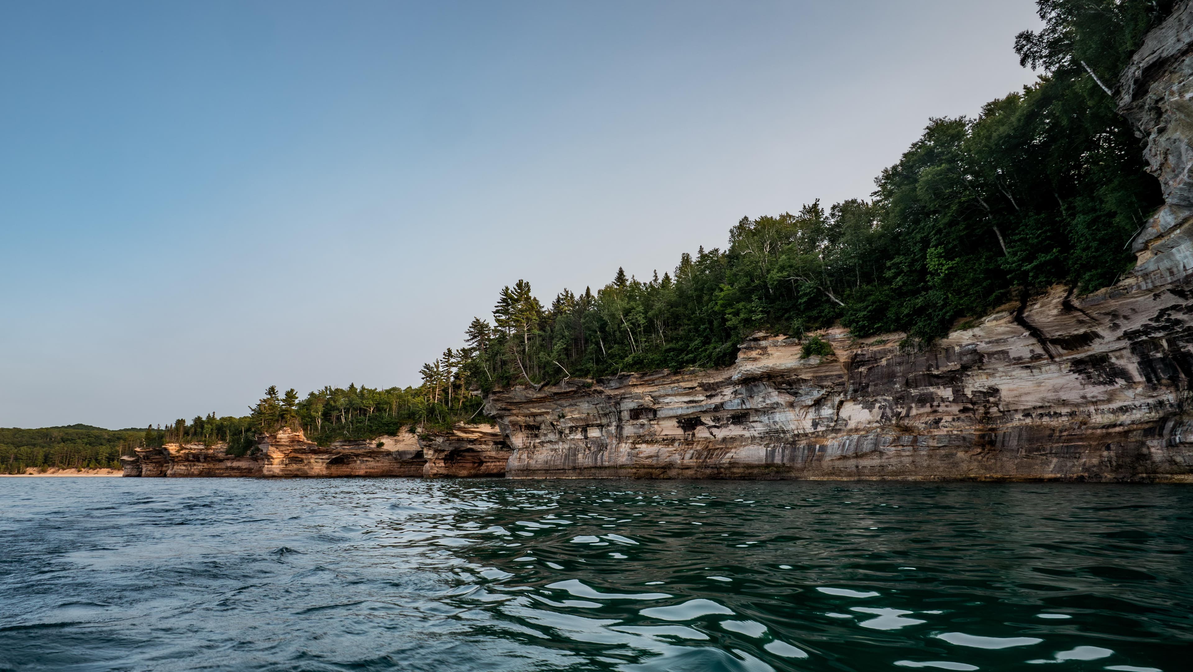
Pictured Rocks National Lakeshore
PIRO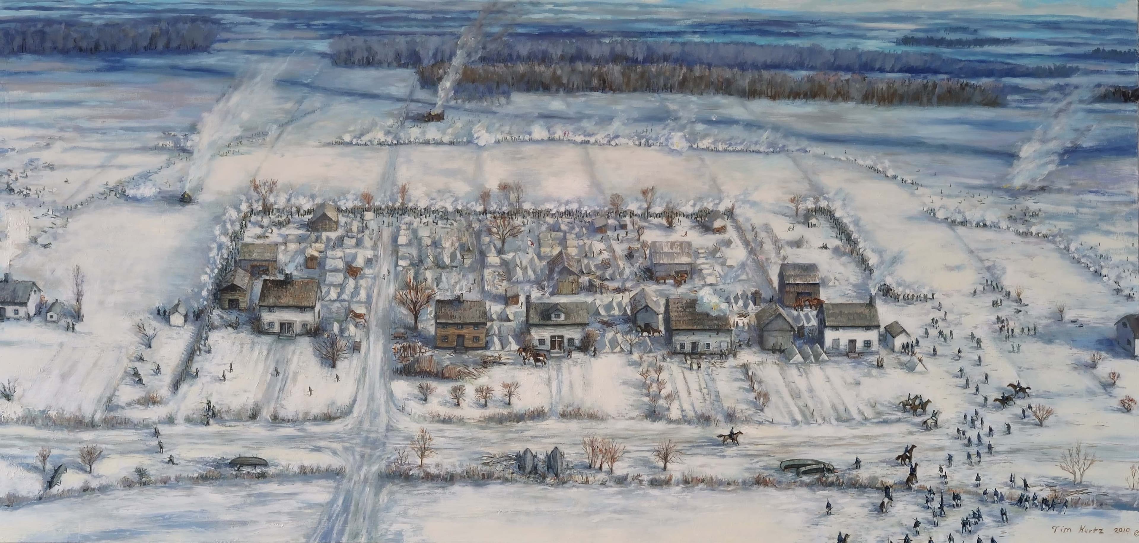
River Raisin National Battlefield Park
RIRA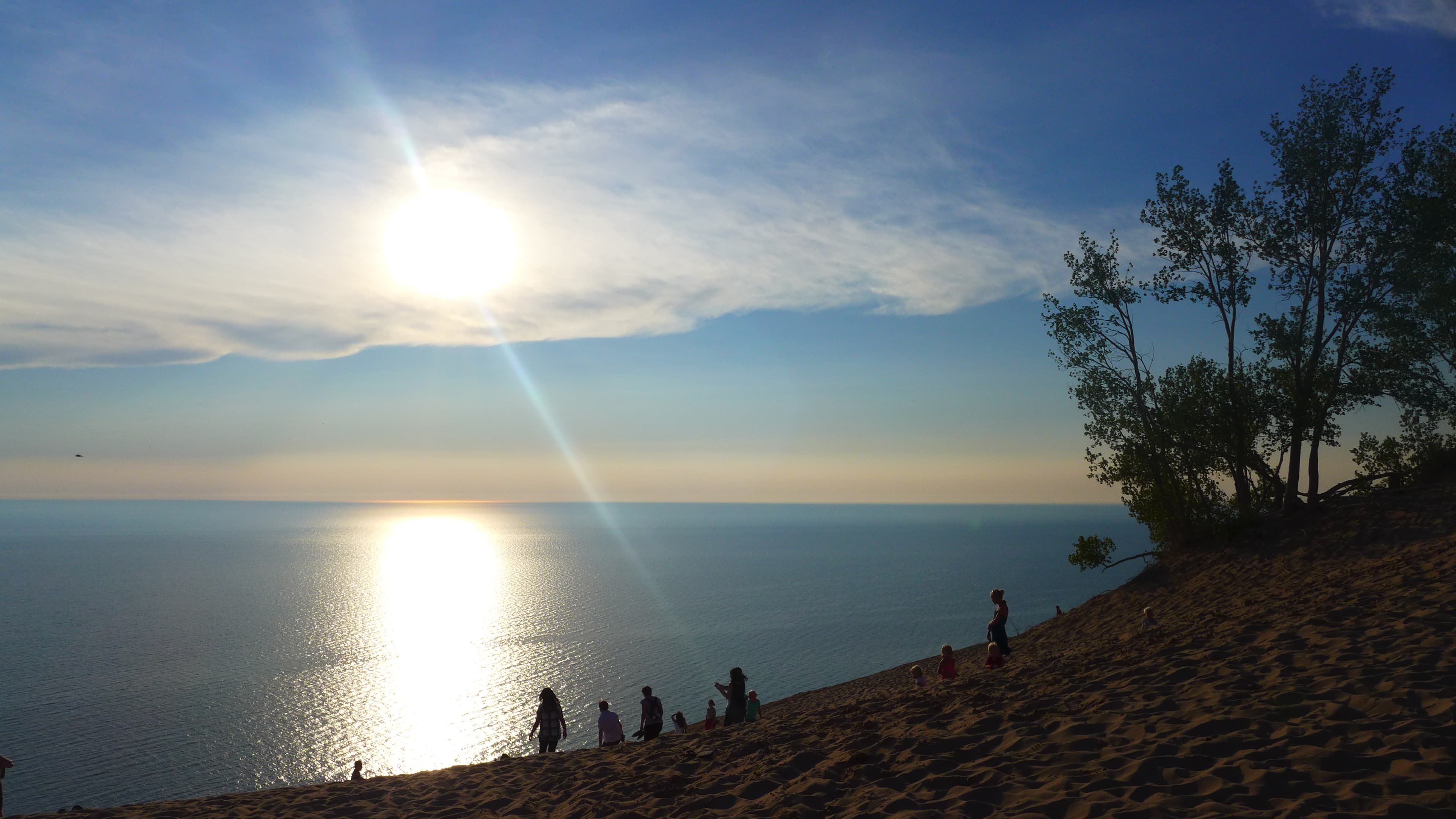
Sleeping Bear Dunes National Lakeshore
SLBEScenic byways in Michigan
Black River Scenic Byway
National Scenic Byway — 11 mi
View byway →Copper Country Trail
National Scenic Byway — 47 mi
View byway →Lake Erie Coastal Ohio Trail
National Scenic Byway — 273 mi
View byway →Monroe Street (M125)
National Scenic Byway — 7 mi
View byway →River Road Scenic Byway
National Scenic Byway — 23 mi
View byway →Whitefish Bay Scenic Byway
National Scenic Byway — 42 mi
View byway →Woodward Avenue (M-1)
National Scenic Byway — 25 mi
View byway →Traffic rules
Right turn on red: permitted after a full stop unless a sign prohibits it.
Speed, seat-belt and phone classifications follow the IIHS and GHSA state-law tables; laws change, so confirm the details in Michigan's official source: Michigan Secretary of State. For the full rundown, see our US driving-rules guide.
Driver handbook
Refueling in Michigan
Self-service is standard: pull up to the pump, pay at the pump by card or prepay inside, then fill up yourself. Many stations — especially overnight — won't switch the pump on until you've paid. Fuel is priced per US gallon, and a regular fill is right for almost every rental.
Latest EIA weekly figure in USD per US gallon; some states show their PADD regional average. Compare every state on the fuel-price map, or read the full guide to refueling in the USA.