
Ozark National Scenic Riverways
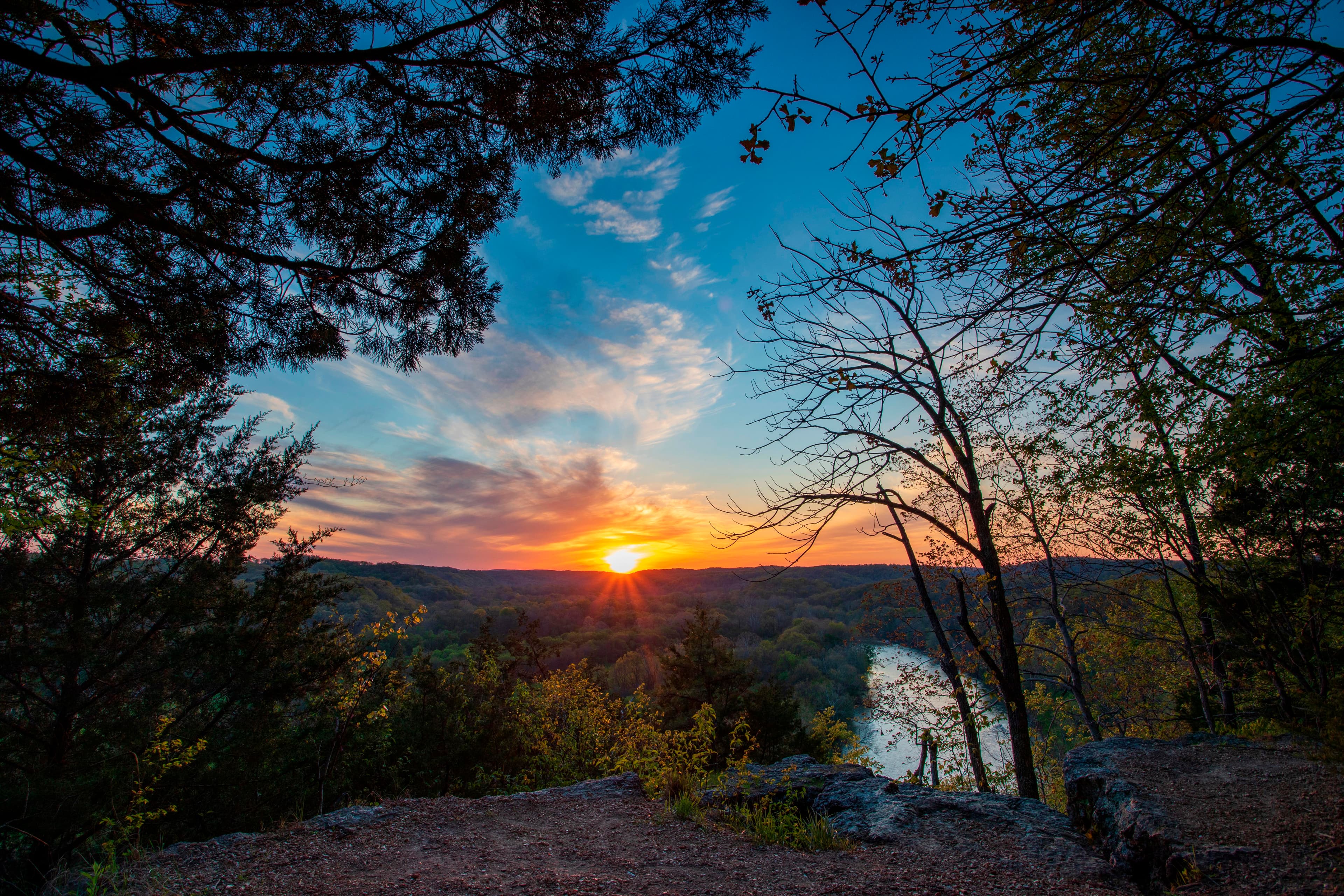
Ozark National Scenic Riverways is the first national park area to protect a river system.
Photo: Brock Davis / NPS
About Ozark National Scenic Riverways
Ozark National Scenic Riverways is the first national park area to protect a river system. The Current and Jacks Fork rivers are two of the finest floating rivers found anywhere. Spring-fed, cold and clear: they are a delight to canoe, swim, boat, or fish. Besides these two famous rivers, the park is home to hundreds of freshwater springs, caves, trails, and historic sites such as Alley Mill.
Pair it with another park
 MO
drive time
 MO
drive time
 MO
drive time
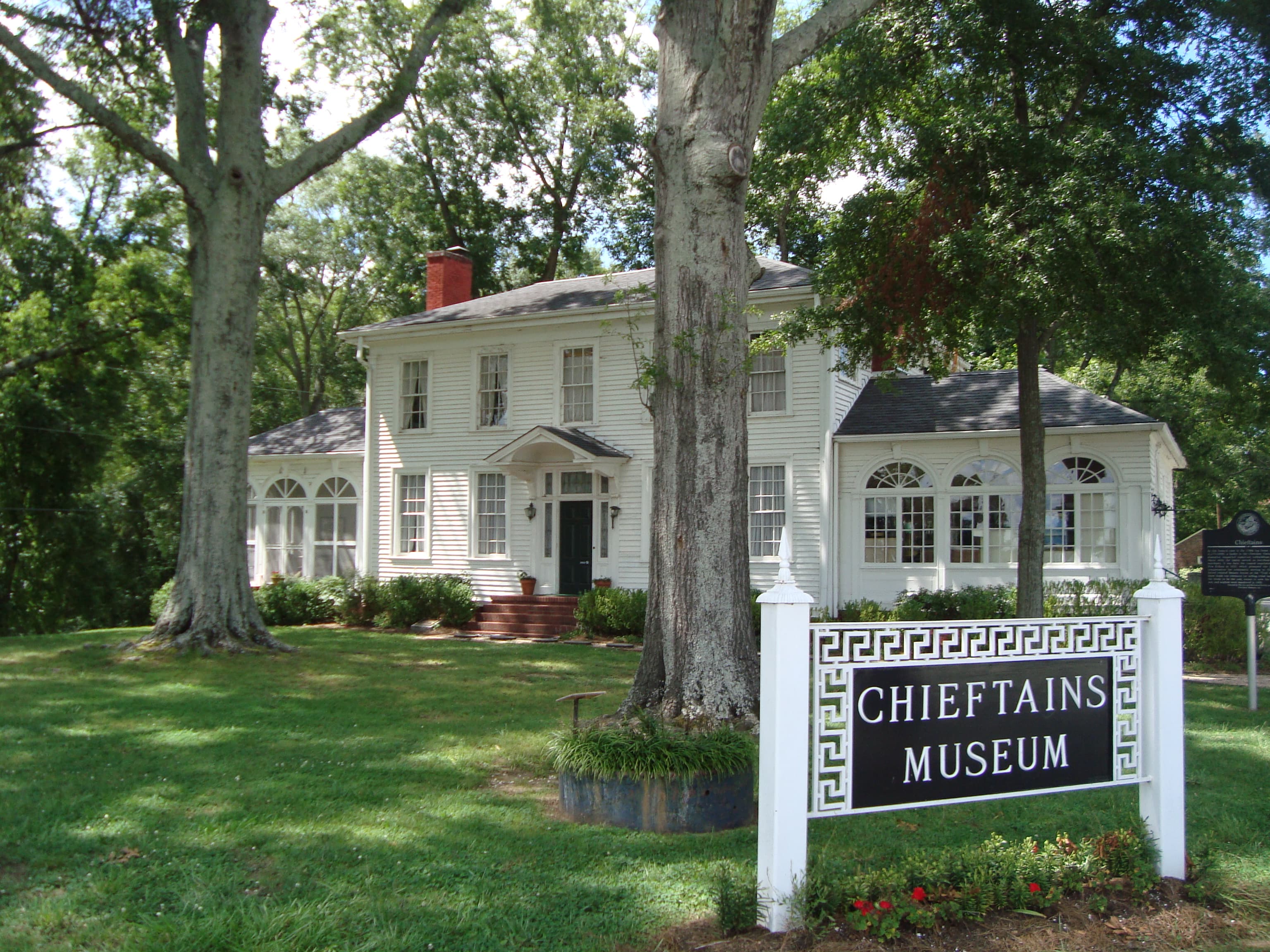 AL
drive time
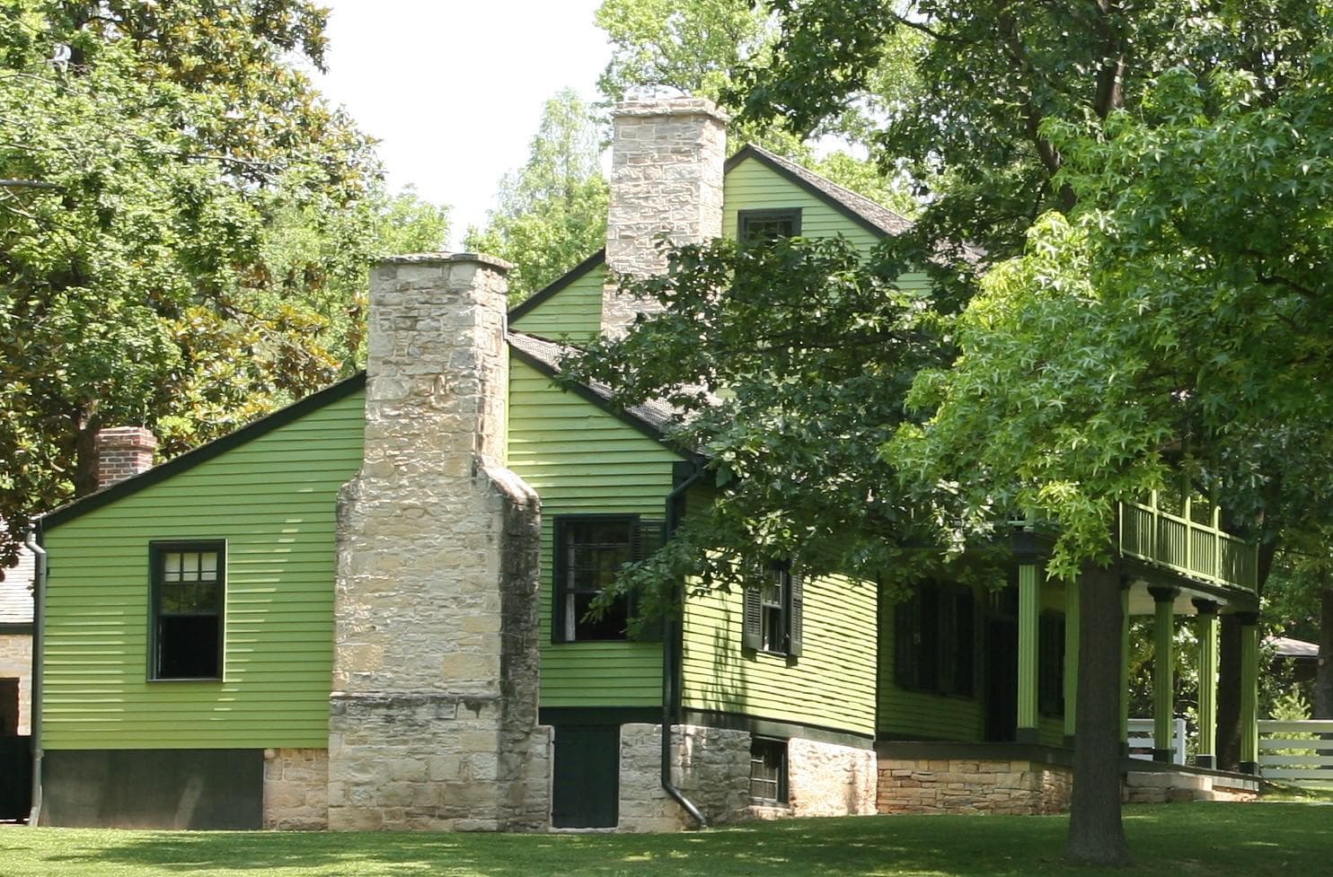 MO
drive time
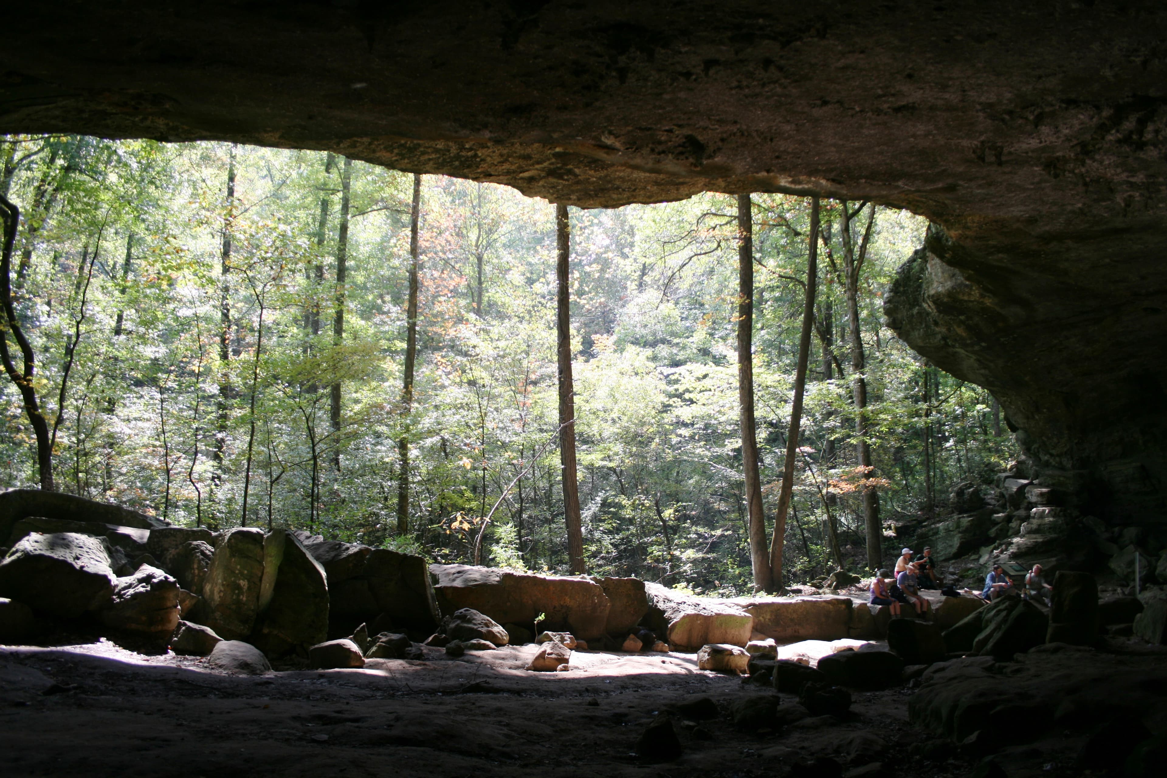 AR
drive time
Driving times from Ozark National Scenic Riverways, one way, via road — a realistic day is 8–10 hours behind the wheel.
Hours
Ozark National Scenic Riverways
- Mon
- All Day
- Tue
- All Day
- Wed
- All Day
- Thu
- All Day
- Fri
- All Day
- Sat
- All Day
- Sun
- All Day
Activities
Getting there
Ozark National Scenic Riverways is located in southeastern Missouri. Summer temperatures generally range from 75-100 degrees (°F) with high humidity. Winter temperatures generally range from 0-50 (°F) degrees with periods of intermittent freezing and snow. Periods of excessive heat are typical in summer, while heavy rains or flooding can occur throughout the year. Be sure to plan accordingly when camping, hiking, or floating.
Frequently asked questions
- What is there to do at Ozark National Scenic Riverways?
- Popular activities include Astronomy, Auto and ATV, Backcountry Camping, Backcountry Hiking, Birdwatching, Boating.
- Which national parks are within a day's drive of Ozark National Scenic Riverways?
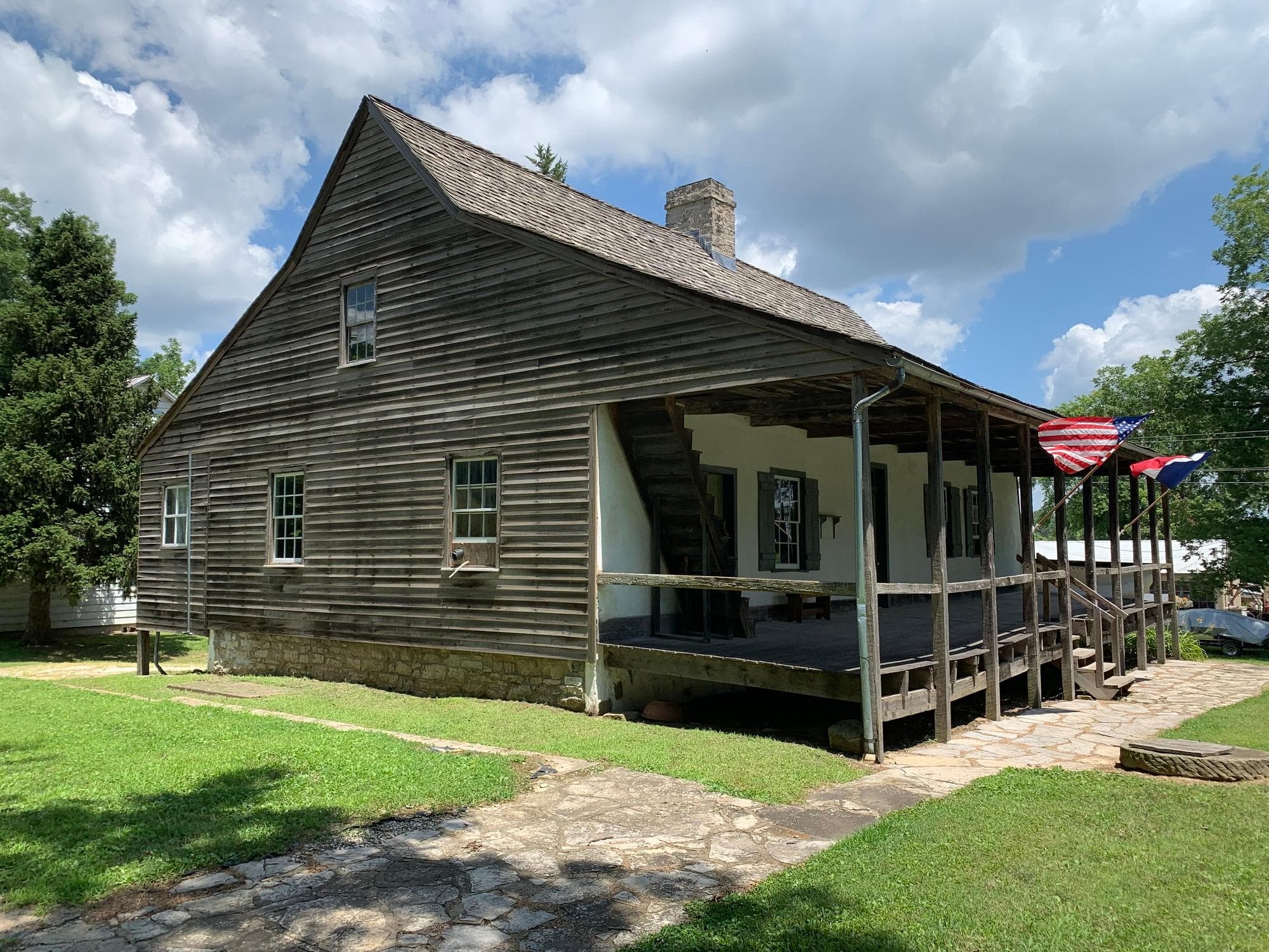
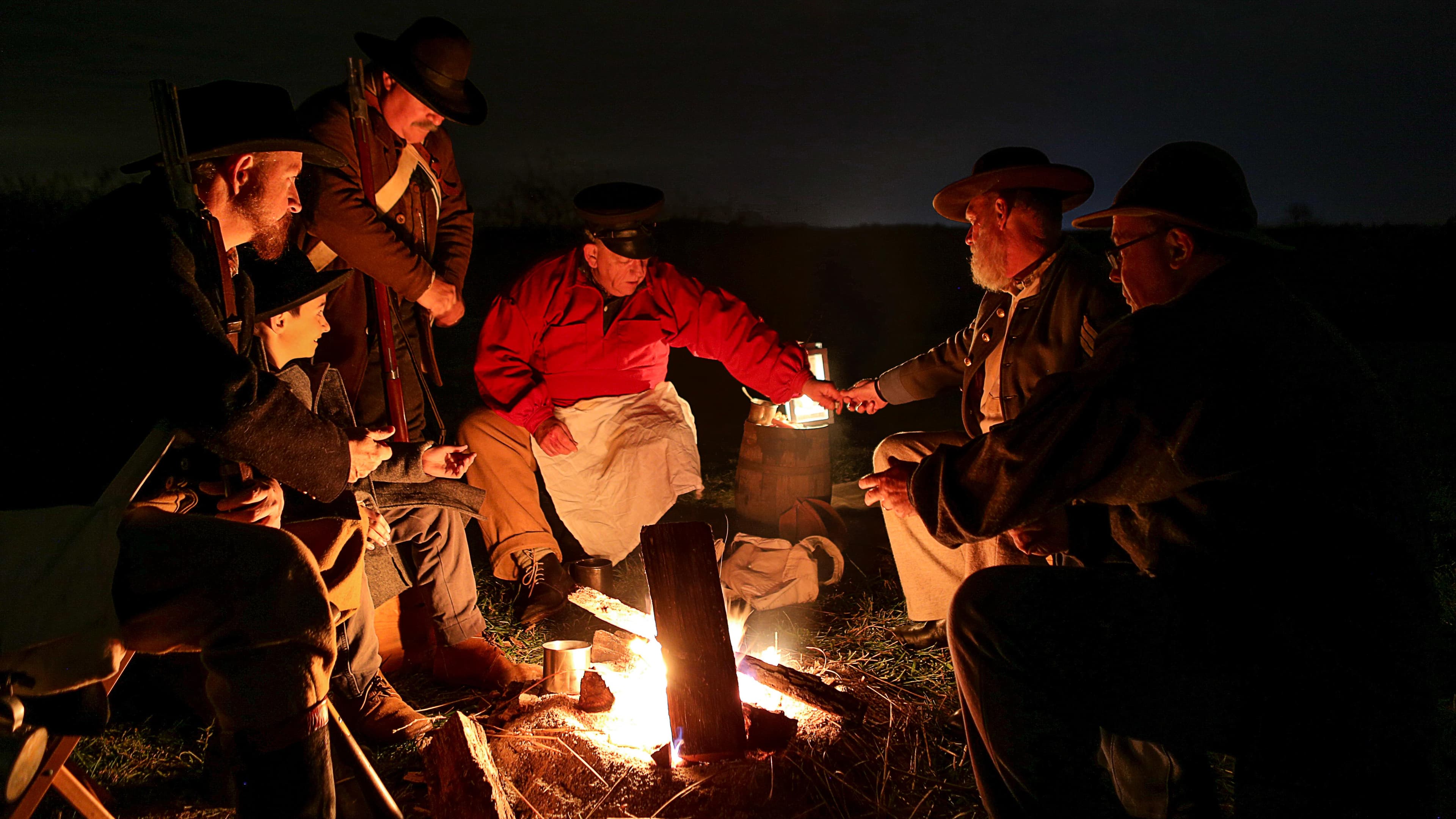
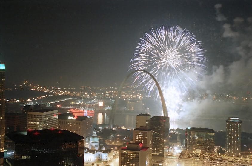
- Within about a day's drive you can reach Ste. Geneviève National Historical Park (2 h 28 min), Wilson's Creek National Battlefield (2 h 42 min), Gateway Arch National Park (3 h), Trail Of Tears National Historic Trail (3 h 3 min), Ulysses S Grant National Historic Site (3 h 5 min), Buffalo National River (3 h 19 min).