
Ice Age Floods National Geologic Trail
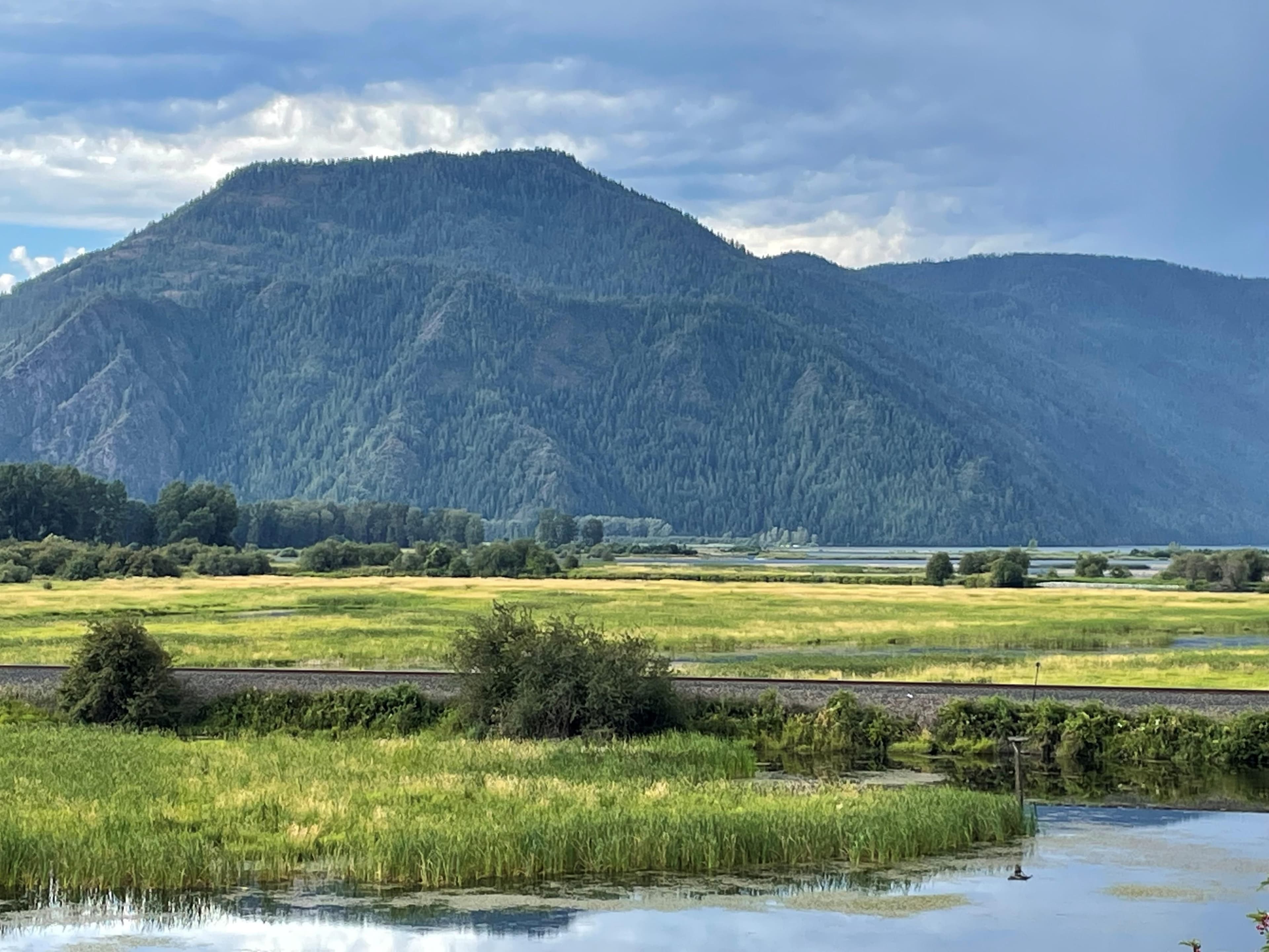
At the end of the last Ice Age, 18,000 to 15,000 years ago, an ice dam in northern Idaho created Glacial Lake Missoula stretching 3,000 square miles around Missoula, Montana.
Photo: NPS Photo / NPS
About Ice Age Floods National Geologic Trail
At the end of the last Ice Age, 18,000 to 15,000 years ago, an ice dam in northern Idaho created Glacial Lake Missoula stretching 3,000 square miles around Missoula, Montana. The dam burst and released flood waters across Washington, down the Columbia River into Oregon before reaching the Pacific Ocean. The Ice Age Floods forever changed the lives and landscape of the Pacific Northwest.
Pair it with another park
 WA
drive time
 WA
drive time
 WA
drive time
 WA
drive time
 OR
drive time
 OR
drive time
Driving times from Ice Age Floods National Geologic Trail, one way, via road — a realistic day is 8–10 hours behind the wheel.
Hours
Ice Age Floods National Geologic Trail
- Mon
- All Day
- Tue
- All Day
- Wed
- All Day
- Thu
- All Day
- Fri
- All Day
- Sat
- All Day
- Sun
- All Day
Activities
Getting there
The National Geologic Trail is a collection of sites stretched across a four state area, the weather will vary from site to site. Please check the weather for your local region, or the region you'll be visiting, through their respective sites.
Frequently asked questions
- What is there to do at Ice Age Floods National Geologic Trail?
- Popular activities include Guided Tours, Junior Ranger Program, Self-Guided Tours - Auto, Self-Guided Tours - Walking.
- Which national parks are within a day's drive of Ice Age Floods National Geologic Trail?
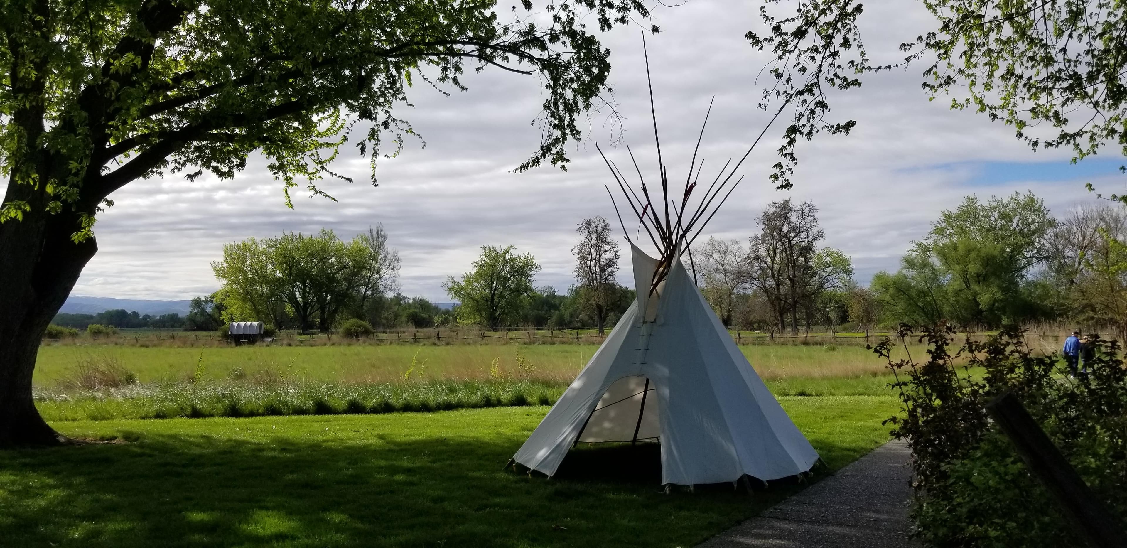
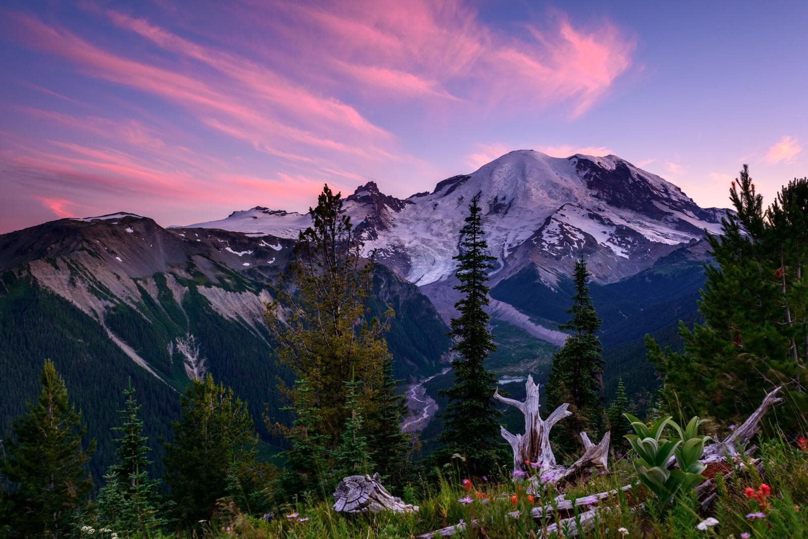
- Within about a day's drive you can reach Whitman Mission National Historic Site (1 h 7 min), Mount Rainier National Park (3 h 28 min), Klondike Gold Rush - Seattle Unit National Historical Park (3 h 50 min), Wing Luke Museum Affiliated Area (3 h 51 min), John Day Fossil Beds National Monument (3 h 57 min), Fort Vancouver National Historic Site (4 h 1 min).